Thinking outside the box, we embrace innovative technologies such as Geographic Information Systems (GIS), drone operations, AI analytics and IoT, enhancing our information architecture and capabilities. These technologies enable us to push the boundaries of what's possible and deliver exceptional value to our customers.
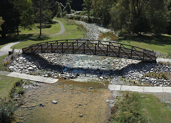
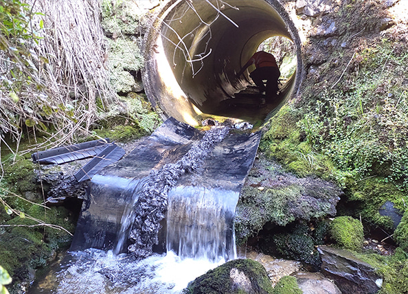
We offer comprehensive mapping services and aerial surveying specialising in acquiring high-resolution Nadir and Oblique imagery. Our outputs include georeferenced 2D Orthophotos and 3D Models with sub-three-centimeter accuracy, which are essential for civil works, construction, and volume calculations. Additionally, we provide professional aerial photography and videography for project planning, marketing, tendering, reporting, and environmental monitoring.
How we can help
Innovative GIS, drones, AI, and IoT solutions, and high-resolution mapping, aerial surveying, and 3D models for landscape design, civil works, construction, and monitoring.
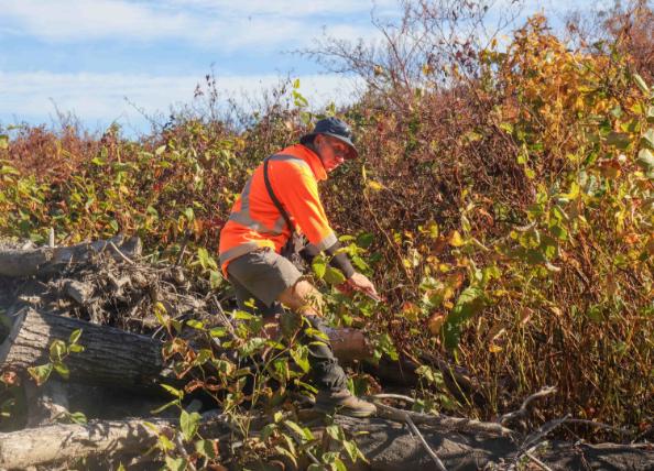
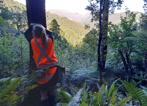
GIS is at the heart of our operations. Spatial data is integrated into our field services so that staff can see exactly where they are and how the real world connects with the digital. We are experts in surveying and mapping, using advanced geospatial tools to deliver precise and efficient results. In combination with our ecology, restoration planting, and biosecurity services, we provide a seamless, end-to-end solution for environmental projects.
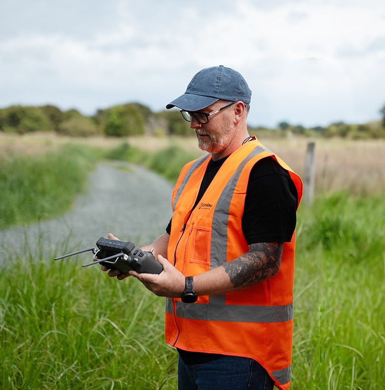
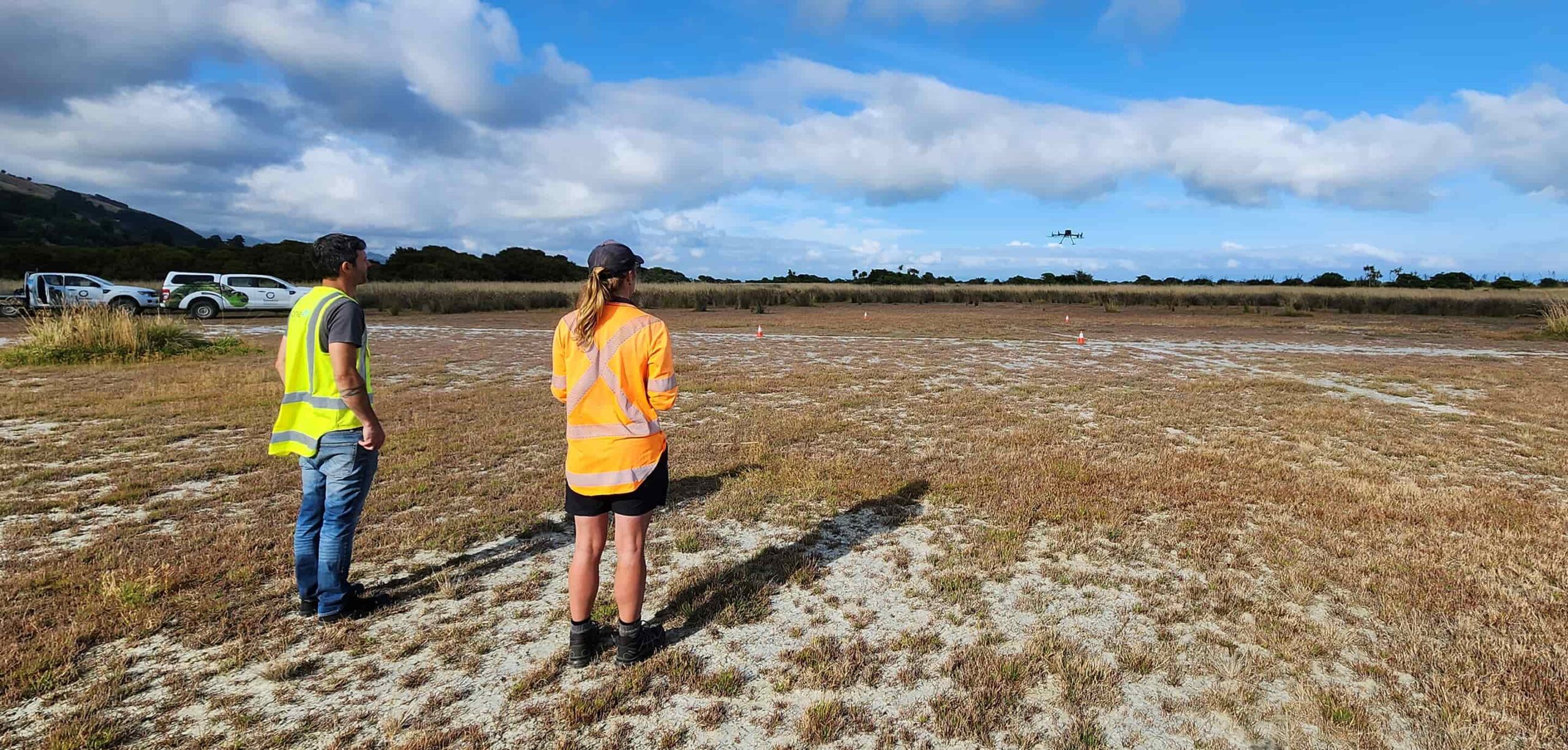
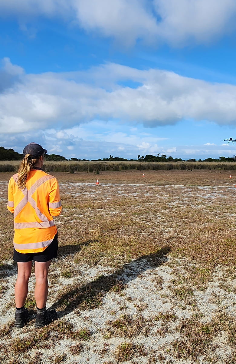
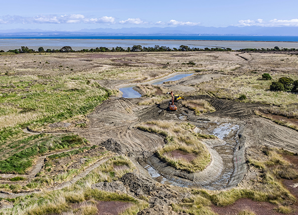
Kūmānu has made significant investment in Remotely Piloted Aerial Systems (RPAS), also known as drones. We hold both Part 101 and Part 102 certifications with the Civil Aviation Authority, allowing us to operate safely and legally in controlled airspace, near airports, around unmanned aerodromes, and within other restricted flight zones when required.
Our drone fleet is equipped with high-definition cameras, thermal imaging, and LiDAR technology, enabling us to capture precise spatial data and deliver detailed analysis across a wide range of environments. From mapping and monitoring to restoration and biosecurity applications, our aerial capabilities enhance accuracy, efficiency, and insight across every project.